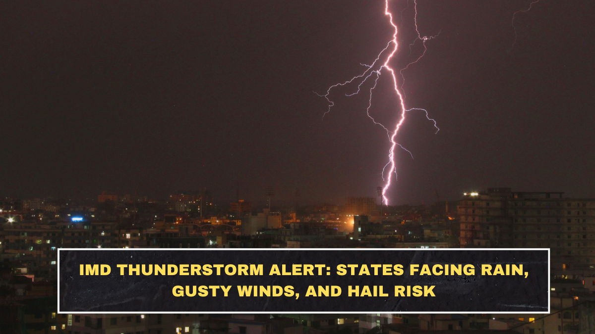
The India Meteorological Department (IMD) has issued a widespread alert covering multiple regions due to incoming thunderstorms, lightning, gusty winds, and possible hailstorms. These alerts are not random warnings — they are based on observed atmospheric instability and approaching weather systems.
States in North, Central, and parts of East India are currently in focus. This includes regions like Uttar Pradesh, Rajasthan, Madhya Pradesh, Bihar, Jharkhand, and parts of Delhi-NCR. Some hill states may also experience intensified weather activity due to changing wind patterns.
These alerts matter because thunderstorms in India are often accompanied by sudden wind bursts and lightning strikes, which can cause damage within minutes.
Why Does This Weather Alert Actually Matter?
Most people ignore weather alerts until something goes wrong. That’s a mistake. Thunderstorms are one of the most dangerous short-duration weather events because they escalate quickly and leave little reaction time.
Data from disaster reports in India shows that lightning alone causes over 2,000 deaths annually, making it one of the leading natural hazards in the country. Gusty winds can uproot trees, damage vehicles, and disrupt power supply, especially in semi-urban and rural areas.
This is not just about rain — it’s about sudden, high-impact risk.
What Is Causing These Thunderstorms and Hailstorms?
The current weather activity is largely driven by a combination of Western Disturbance and local heat buildup. When warm surface air rises rapidly and meets cooler air above, it creates instability in the atmosphere, leading to thunderstorms.
In March, this becomes more intense because:
- Daytime temperatures rise quickly
- Moisture levels increase in some regions
- Wind patterns shift unpredictably
This combination creates the perfect condition for thunderstorms, lightning, and hail formation.
What Type of Impact Can You Expect?
Here’s a simple breakdown of expected conditions and their impact:
| Weather Event | Expected Intensity | Possible Impact |
|---|---|---|
| Rainfall | Moderate to Heavy | Waterlogging, reduced visibility |
| Gusty Winds | 40–60 km/h | Tree fall, power outages |
| Lightning | High risk | Life-threatening in open areas |
| Hailstorm | Isolated but severe | Crop damage, vehicle dents |
Wind speeds above 50 km/h are strong enough to cause structural damage in weak setups, especially temporary shelters and roadside stalls.
What’s Happening Right Now (Data-Based Situation)?
Current IMD observations indicate:
- Thunderstorm cells forming in multiple regions simultaneously
- Temperature differences of 8–10°C between surface and upper air, increasing instability
- Wind convergence zones forming, which intensify storm activity
Satellite data also shows cloud build-up patterns that are typically associated with lightning and hail events. This means the risk is not hypothetical — it is already developing.
What Should You Do Immediately?
Most people wait until the storm hits. That’s too late.
Here’s what you should do before and during the alert:
- Avoid open fields, rooftops, and isolated trees during lightning
- Stay indoors and unplug sensitive electrical devices
- Park vehicles under covered areas to avoid hail damage
- Avoid unnecessary travel during peak storm hours
If you’re riding a bike or walking outside during a thunderstorm, you are taking a direct risk.
What Are the Common Mistakes People Make?
People underestimate thunderstorms because they are short-lived. That’s exactly why they are dangerous.
Common mistakes include:
- Standing under trees during lightning
- Continuing travel during high winds
- Ignoring early warning signs like sudden dark clouds
- Using mobile phones in open areas during lightning
These are not small errors — they can be fatal.
What Should You Watch Next?
Weather conditions are evolving rapidly, so you need to track:
- IMD updates every 6–12 hours
- Local district-level alerts
- Sudden temperature drops or wind changes
Thunderstorm alerts often expand quickly. A region not affected today can be at risk tomorrow.
Reality Check: Are These Weather Events Increasing?
Yes — and this is not random.
Data trends show that extreme weather events in India have increased significantly over the past decade, including thunderstorms, hailstorms, and lightning incidents. This is linked to changing climate patterns and rising temperatures.
Ignoring this trend means you’re not preparing for what’s becoming more common every year.
Conclusion: What Does This Mean for You?
This IMD alert is not just another weather update — it’s a warning about high-impact, short-duration risk. The damage from thunderstorms doesn’t come slowly — it happens within minutes.
The difference between safety and damage is usually awareness and timing. If you act early, you avoid risk. If you ignore it, you react too late.
Stay alert, stay informed, and don’t treat weather warnings casually.
FAQs
Which states are under thunderstorm alert?
States like Uttar Pradesh, Rajasthan, Madhya Pradesh, Bihar, and nearby regions are currently under alert.
How dangerous is lightning in India?
Lightning causes over 2,000 deaths annually, making it one of the most dangerous natural hazards.
What wind speed is considered dangerous?
Winds above 40–50 km/h can cause damage, especially to trees, vehicles, and temporary structures.
Can hailstorms damage vehicles?
Yes, hailstones can dent vehicles and damage crops significantly.
What is the safest place during a thunderstorm?
Indoors, away from open spaces, windows, and electrical appliances.
Click here to know more.